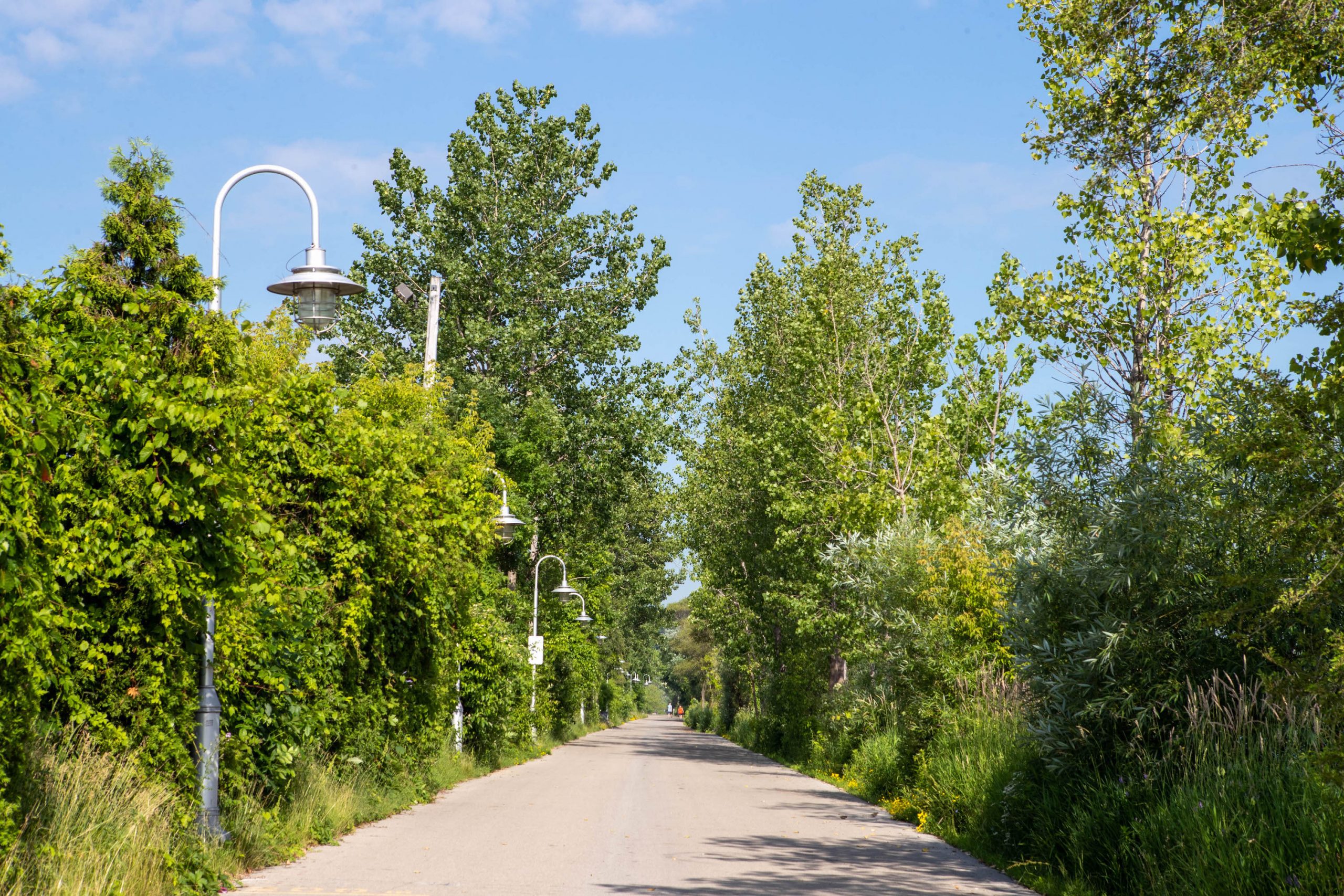
The Hamilton Waterfront Trail is a 7.5km paved trail forming part of the Great Lakes Waterfront Trail “HamBur Loop”. It spans from Pier 7 to the east, passing through Bayfront Park before continuing along the waterfront where it is known as Desjardins Trail as it passes through the Desjardins Canal with a floating walkway paralleling the boat channel and terminating at Princess Point.
The trail is off-road, paved asphalt and 6m wide making it highly accessible and great for roller-skating, cycling, skateboarding, walking and more. Bayfront Park and Pier 4 host other activities such as live music concerts, local cafes, winter Ice-skating and more!
Around Cootes Paradise beside the fishway, a staircase with a cycling trough connects the trail to York Boulevard and Dundurn Park and Cemetery.
Access to Waterfront Trail is free to all users.

