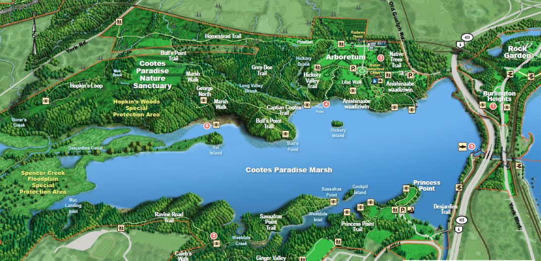
Cootes Paradise is 18 km of trails, 10 lookouts, 5 board walks, and 12 creek crossings.
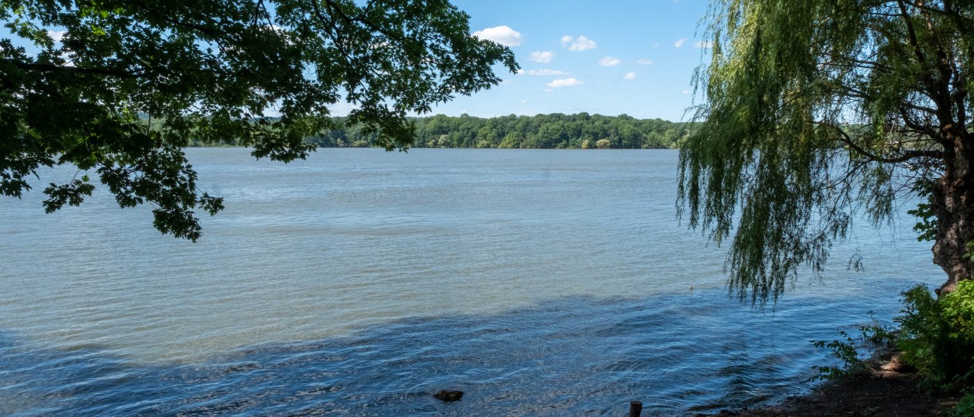
The Cootes Paradise sanctuary was established in 1927 to protect important migratory bird habitat. This 600-hectare property includes a 320-hectare marsh, 16 creeks, and 25 kilometers of shoreline. Several Cootes Paradise trails are accessible from McMaster University Main Campus or nearby in Westdale, including the Sassafras Point Trail, Caleb’s Walk, Ravine Road Trail, Ginger Valley Trail and the Princess Point Trail. Cootes Paradise is an important component of the Cootes to Escarpment EcoPark System and supports the surrounding ecosystems of the Hamilton area and Lake Ontario.
- The Ravine Road Trail can be accessed from the northeastern end of campus near Miller’s Grove, and is a hilly gravel trail.
- The Sassafras Point Trail can be accessed from the Ravine Road Trail that begins at the northeastern end of campus near Miller’s Grove, and is a hilly dirt trail.
- Caleb’s Walk can be accessed from the Ravine Road Trail, or from the Precise ParkLink near the Hamilton Aviary. It is a hilly dirt trail.
- The Ginger Valley Trail can be accessed from the Ravine Road Trail or from Churchill Park, and is a hilly dirt trail.
- The Princess Point Trail can be accessed from Churchill Park or the Princess Point parking lot, and is a hilly dirt trail.
Cootes Paradise trails include packed earth, crushed stone, asphalt and boardwalks; some sections are steep and hilly. Trails are not plowed or sanded during the winter. During spring thaws and after rains, earthen trails become muddy. Please take appropriate caution.
(Derived from the Royal Botanical Gardens website)
Expandable List
Due to its ideal position at the southernmost point of Lake Ontario and its proximity to both the Central and Mississippi Flyways, Cootes Paradise has been proclaimed a national Important Bird Area (IBA). As a result, Cootes Paradise is frequented by numerous bird species throughout the year, especially around the spring and fall migration seasons.
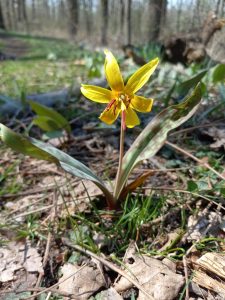
With approximately 750 native plant species, Cootes Paradise has Canada’s greatest botanical density. However, since European settlement of the area, 300 additional species have been introduced. Due to the lack of predators and parasites that would control their populations in their native habitats, many of these plants are able to outcompete native species. This has had an adverse impact on the functioning of the local ecology. These plants are called invasive species.
With more than 60 species present, the area is a biodiversity hotspot for Canada. In the springtime, tens of millions of spawning fish migrate from the bay and lake through the Fishway, lay their eggs, and then quickly depart, enabling the marsh to serve as a massive fish hatchery. Lake Ontario in the marshes of Cootes Paradise can produce between 5 and 20 million fish yearly, depending on that year’s water levels.
History
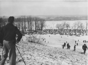
Archeological research at Princess Point has found evidence for a people group who fished, hunted, traded, and farmed around Cootes Paradise. Named the Princess Point people group after the location of these findings, they were likely the first peoples to live there, between AD 500 and 1000. Europeans settlers ultimately established here hundreds of years later, in the early 1700s. The region was named in honour of Captain Thomas Coote, a British naval officer who spent many days in the 1780s hunting the area’s plentiful waterfowl. On the western side of Lake Ontario, it is the only remnant marsh and serves as an essential habitat for wildlife.
In the past, the marshes around western Lake Ontario served as excellent fish spawning grounds and staging grounds for migrating birds. But by 1980, these protected areas were utterly destroyed, with little to no vegetation due to human disturbance and invasive species, making them unsuitable many fish and bird species. Poor water quality brought on by excessive input of fertilizers and sediments also contributed to this loss.